This post is part of the Pangkor Trip 2007 series.
Day 1 Lumut · Approaching Pangkor Island · Havana Beach Resort · Nipah Bay Beach · Dinner Day 2 More Hornbills · Boat Ride & Pulau Giam · White Tom Yam Day 3 A Fireworm · Back to Lumut
It was time for the most interesting event during this trip - a boat ride around Nipah Bay and a visit to Pulau Giam ("pulau" means island in Malay).
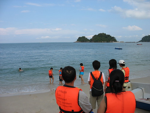
Fellow travellers, with their life jackets on, waiting to take a boat ride around Nipah Bay. Pulau Giam is visible in the distance. (Ref. No.: IMG_32240001)
Time: 9.58 am
Photographer's location: 4.231286° N, 100.545297° E
[Large view][Exif data]
After waiting for the boatmen to get ready their boats, I was soon breaking the waves around Nipah Bay.
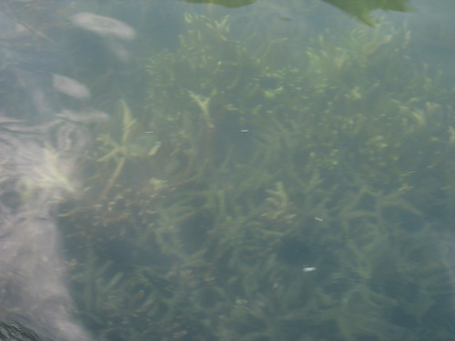
Corals visible underneath the clear sea water at Nipah Bay. (Ref. No.: IMG_32300001)
Time: 10.12 am
[Large view][Exif data]
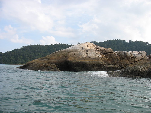
Batu Buaya (literally Crocodile Rock) - A rock formation shaped like a crocodile's head. (Ref. No.: IMG_32330001)
Time: 10.15 am
[Large view][Exif data]
Later, the boatmen took us to Pulau Giam, an island north of Nipah Bay. We were supposed to do some snorkelling on this island, but it was crowded with people. However, we did go down the sea just like other people.
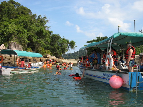
Tourists arriving in droves at Pulau Giam for snorkelling, causing it to be crowded. (Ref. No.: IMG_32370001)
Time: 10.21 am
Photographer's location: 4.234800° N, 100.540211° E
[Large view][Exif data]
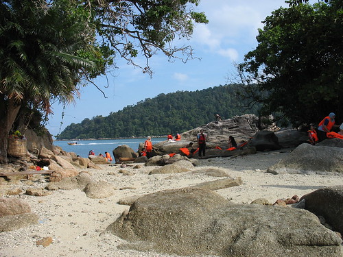
A small clearing on Pulau Giam. (Ref. No.: IMG_32400001)
Time: 10.25 am
Photographer's location: 4.235613° N, 100.540038° E
[Large view][Exif data]
Back at Nipah Bay Beach...
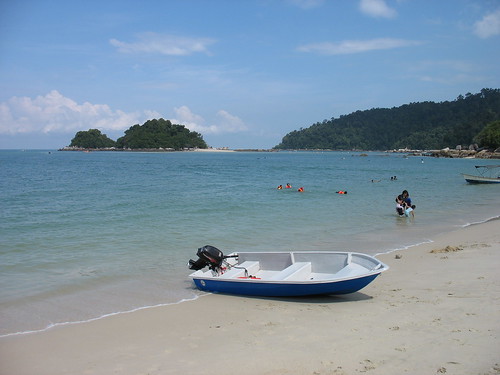
A boat similar to the one used during the boat ride lying on Nipah Bay Beach. (Ref. No.: IMG_32510001)
Time: 11.35 am
[Large view][Exif data]
Key Places
 View in Google Earth (KML)
* All times are in MYT (GMT +0800).


No comments:
Post a Comment