This post is part of the Pangkor Trip 2007 series.
Day 1 Lumut · Approaching Pangkor Island · Havana Beach Resort · Nipah Bay Beach · Dinner Day 2 More Hornbills · Boat Ride & Pulau Giam · White Tom Yam Day 3 A Fireworm · Back to Lumut
INTRODUCTION
I went for a 3D/2N visit to Pangkor Island starting from this day, which was just two days after Chinese New Year. I went there by taking a ferry from the mainland. For the three days, I stayed at Havana Beach Resort at Nipah Bay.
I travelled from Penang to Lumut in the morning to catch a ferry to Pangkor Island (Malay: Pulau Pangkor). At about 10.30 am, I arrived at Lumut Jetty. Lumut Jetty is located at the banks of Dinding River (Sungai Dinding).
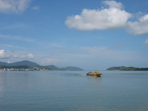
A ferry moving towards Lumut Jetty from the mouth of Dinding River. (Ref. No.: IMG_31590001)
Time: 10.46 am
Photographer's location: 4.23690° N, 100.63218° E
[Large view][Exif data]
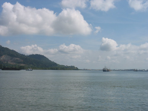
View of Dinding River upstream. (Ref. No.: IMG_31610001)
Time: 10.53 am
[Large view][Exif data]
At about 11.30 pm, I boarded a ferry and began my journey towards Pangkor Island. While travelling towards the river mouth, I passed by Lumut's Royal Malaysian Navy base.
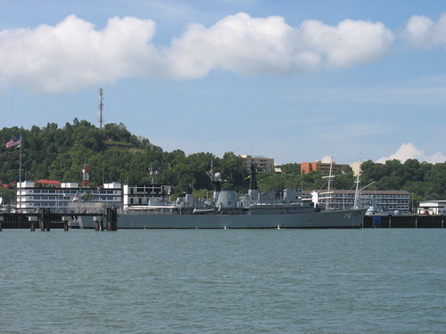
A ship at the Royal Malaysian Navy base. (Ref. No.: IMG_31650001)
Time: 11.46 am
Photographer's location: 4.24045° N, 100.61800° E
[Large view][Exif data]
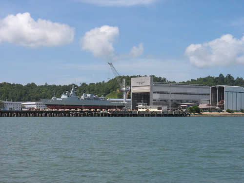
A ship undergoing maintenance at the PSC-Naval Dockyard. (Ref. No.: IMG_31700001)
Time: 11.50 am
Photographer's location: 4.24358° N, 100.61000° E
[Large view][Exif data]
Approaching the river mouth and into the open sea...
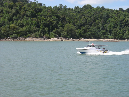
A boat travelling towards Lumut. (Ref. No.: IMG_31710001)
Time: 11.54 am
[Large view][Exif data]
Key Places
 View in Google Earth (KML)
* All times are in MYT (GMT +0800).
Pangkor Trip 2007 series


No comments:
Post a Comment