This evening, I took a stroll along Malacca River (Malay: Sungai Melaka), which have undergone beautification for the past few years.
From my starting point north of Kampung Morten ("kampung" means village in Malay), I walked down south towards the Hang Tuah Bridge and turned back to my starting point again.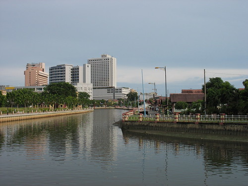
Malacca River. On the left is Kampung Morten. The three tall buildings which are visible (from left) are Bayview Hotel, Putra Specialist Hospital and Renaissance Hotel. (Ref. No.: IMG_33500001)
Time: 5.56 pm
Photographer's location: 2.206092° N, 102.250775° E
[Large view][Exif data]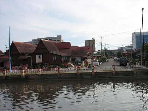
Kampung Morten and its characteristic Malay-style houses. (Ref. No.: IMG_33510001)
Time: 5.59 pm
Photographer's location: 2.204617° N, 102.251342° E
[Large view][Exif data]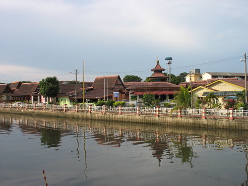
More of Kampung Morten. The building with a pointed roof is the local mosque. (Ref. No.: IMG_33530001)
Time: 6.05 pm
[Large view][Exif data]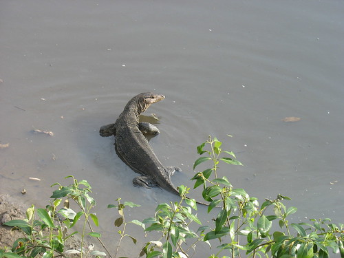
A monitor lizard seen at the shallow part of the river. (Ref. No.: IMG_33540001)
Time: 6.10 pm
[Large view][Exif data]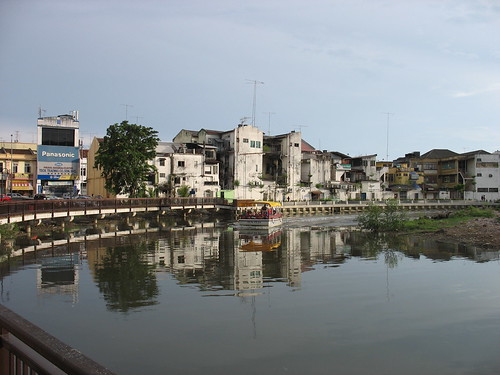
A boat seen cruising along the river carrying sightseers. (Ref. No.: IMG_33550001)
Time: 6.13 pm
Photographer's location: 2.201439° N, 102.249911° E
[Large view][Exif data]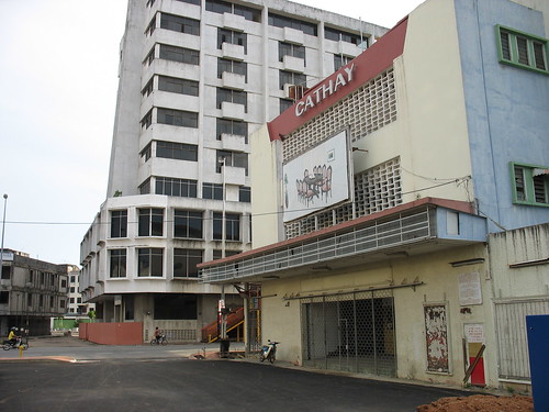
The old Cathay Cinema building. It was used as a furniture shop before being abandoned. (Ref. No.: IMG_33560001)
Time: 6.18 pm
Photographer's location: 2.200522° N, 102.248986° E
[Large view][Exif data]
A few metres after the cinema, I turned back following my original path. I took one last photo.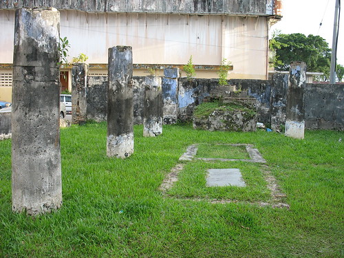
The ruins of Rosary Chapel built by the Portuguese. (Ref. No.: IMG_33570001)
Time: 6.29 pm
Photographer's location: 2.201875° N, 102.251192° E
[Large view][Exif data]
For a brief introduction and history of Rosary Chapel, read the following news article:
Ruins with interesting tales - AllMalaysia.info
Key Places View in Google Earth (KML)
* All times are in MYT (GMT +0800).
Sunday 29 July 2007
Down Malacca River
Subscribe to:
Posts (Atom)

