This post is part of the Pangkor Trip 2007 series.
Day 1 Lumut · Approaching Pangkor Island · Havana Beach Resort · Nipah Bay Beach · Dinner Day 2 More Hornbills · Boat Ride & Pulau Giam · White Tom Yam Day 3 A Fireworm · Back to Lumut
Riding a ferry, I travelled past the river mouth of Dinding River into the open sea.

A ferry carrying passengers to Pangkor Island. (Ref. No.: IMG_31730001)
Time: 12.03 am
Photographer's location: 4.24805° N, 100.59400° E
[Large view][Exif data]
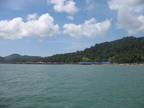
After a while, Pangkor Island was clearly visible.
Panoramic view of Pangkor Island. (Ref. No.: STITCH_31750001)
Panorama created from individual photos with ref. nos. STA_31750001, STB_31760001, STC_31770001 and STD_31780001.
Time: 12.07 am
Photographer's location: 4.24705° N, 100.58400° E
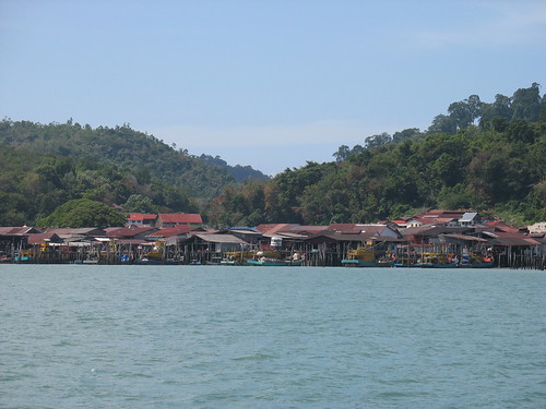
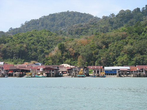
As the ferry cruised along the eastern side of Pangkor Island towards Pangkor Jetty, I got to see buildings, fishing villages and boats along the shoreline of Pangkor Island.

(Ref. No.: IMG_31800001)
Time: 12.07 am
[Large view][Exif data]

(Ref. No.: IMG_31820001)
Time: 12.09 am
[Large view][Exif data]

(Ref. No.: IMG_31830001)
Time: 12.10 am
[Large view][Exif data]
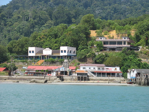
Passing by Sungai Pinang Besar...

Some buildings in Sungai Pinang Besar, which includes the Pangkor Hainan Association building and a Hindu temple. (Ref. No.: IMG_31850001)
Time: 12.13 am
Photographer's location: 4.22252° N, 100.57900° E
[Large view][Exif data]
After disembarking the ferry at Pangkor Jetty in Pangkor Town, I took a taxi towards Havana Beach Resort.
Key Places
 View in Google Earth (KML)
* All times are in MYT (GMT +0800).


No comments:
Post a Comment